If you spend any time in metro Atlanta, you’ll hear Marietta mentioned a lot. It’s one of the major suburban cities outside the perimeter, home to a historic square, neighborhoods, and popular attractions like The Battery Atlanta near Truist Park. But how far is Marietta, GA from Atlanta, really—and what does that mean for driving, commuting, or visiting?
This guide breaks it down in simple, Atlanta-focused terms.
Distance depends on your exact starting point in Atlanta, but here’s the general rule:
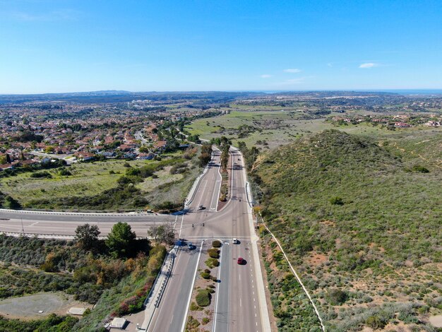
In straight-line terms, Marietta is only about 15–18 miles northwest of central Atlanta, but in real life, your drive time is shaped more by traffic than mileage.
Because Atlanta traffic is its own topic, it helps to think in terms of time windows, not just distance.
| From Atlanta Area | To Where in Marietta | Typical Time (Light Traffic) | Typical Time (Rush Hour) |
|---|---|---|---|
| Downtown (Five Points) | Marietta Square | 25–30 minutes | 40–60+ minutes |
| Midtown | Central Marietta | 25–35 minutes | 40–60+ minutes |
| Buckhead | Central Marietta | 20–30 minutes | 35–55+ minutes |
| East Atlanta / Decatur | Central Marietta | 35–45 minutes | 50–70+ minutes |
| Atlanta Airport (Hartsfield–Jackson) | Central Marietta | 35–50 minutes | 50–75+ minutes |
📝 Key takeaway:
On a clear day, you can often make it Atlanta to Marietta in under 30 minutes. In rush hour, it can easily double.
How you get from Atlanta to Marietta, GA depends on where you’re coming from.
Most drivers use:
This is the most direct and common route.
You have two typical options:
Travel time changes quickly based on congestion near:
You’ll usually go:
This is a longer trip even though everything is still within metro Atlanta.
If you’re new to the region, the way people talk about locations can be confusing.
Many people live in Marietta and work in Atlanta, or vice versa, so it’s one of the most common commuter routes in metro Atlanta.
If you’re wondering how realistic it is to commute between Marietta and Atlanta, here’s how it usually looks.
Delays get worst:
Many Atlanta-area workers make the trip daily. To make it easier, locals often:
You won’t find a MARTA rail line directly into Marietta, but you can combine MARTA and CobbLinc buses.
A common setup:
Take MARTA rail to:
From there, connect to CobbLinc buses that serve Marietta and Cobb County.
CobbLinc commonly runs routes connecting:
You can also:
For the most accurate, up-to-date schedules and fares, check:
If you’re flying into Hartsfield–Jackson Atlanta International Airport and heading to Marietta:
You’ll usually take:
Many travelers use:
Technically: No, Marietta is its own city in Cobb County.
Practically: Many people consider Marietta part of “metro Atlanta” or the Atlanta area since:
So if someone asks whether Marietta is “far” from Atlanta, locals usually think in terms of traffic, not just miles.
Here are some common point‑to‑point ideas:
Downtown Atlanta to Marietta Square
Midtown Atlanta (near Piedmont Park) to Marietta Square
Buckhead (Lenox area) to central Marietta
Downtown Atlanta to The Battery Atlanta / Truist Park (border of Atlanta/Marietta area)
Even though Marietta, GA is only about 20 miles from Atlanta, it can feel farther when:
On the other hand, late at night or mid‑day, many drivers experience the route as quite quick and straightforward.
To make the most of the relatively short distance:
Check traffic apps before you leave, especially around:
Give yourself a buffer of at least 15–20 extra minutes during peak times.
If you’re exploring both cities in one day:
For visitors staying in Atlanta:
In everyday Atlanta terms, Marietta is “right up the road”—only about 20 miles from central Atlanta, with drive times typically ranging from 25 minutes to an hour, depending on traffic and time of day.