Atlanta might feel like a typical Southern city at first glance, but its altitude plays a quiet role in everything from the weather to how it feels to exercise here. Whether you live in Atlanta, are planning a visit, or are just curious about the city’s elevation, understanding Atlanta’s altitude can give helpful context to daily life.
Atlanta is often called the “City in a Forest,” but it could just as easily be called a city on a hill.
So while Atlanta is not a high-altitude city like Denver, it’s noticeably higher than many coastal cities such as Savannah, Jacksonville, or New Orleans.
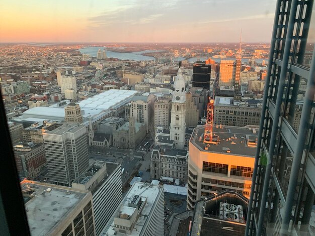
Different parts of Atlanta sit at slightly different heights. You might not notice it walking around, but the city is full of gentle hills and ridges.
Here is a simplified look at elevations in and around key areas:
| Area / Landmark | Approximate Elevation (feet) | Notes |
|---|---|---|
| Downtown Atlanta | 950–1,050 | Around Peachtree Center, State Capitol area |
| Midtown Atlanta | 950–1,050 | Slightly hilly, similar to downtown |
| Buckhead | 900–1,000 | Elevated, rolling terrain |
| Hartsfield–Jackson Airport | 950 | South of downtown; relatively flat |
| Westside (e.g., West Midtown) | 900–1,000 | Gentle slopes, old industrial areas on higher ground |
| East Atlanta / Decatur area | 900–1,000 | Modest hills and ridges |
| Chattahoochee River valley | 700–800 | Lower areas closer to the river corridor |
🌳 What you’ll notice as a resident or visitor:
Atlanta’s elevation and location in the Piedmont help shape its climate:
Because Atlanta sits hundreds of feet above sea level, it tends to be:
That said, summers are still hot and humid, just not as extreme as they might be at sea level in some Gulf or Atlantic locations.
Atlanta’s height and terrain can also play a role in how:
Residents are familiar with fast-changing weather where storms can build quickly and move across the hilly city. The local forecast and warnings are managed by the National Weather Service office in Peachtree City, which covers the Atlanta area.
For most people, Atlanta’s elevation is not high enough to cause altitude-related issues. Cities that trigger common altitude concerns (like lightheadedness or difficulty breathing due to thin air) are typically:
Atlanta, at around 1,000 feet, is:
However, a few altitude-related points may still matter:
Anyone with specific health concerns about travel or exercise should consult a qualified health professional rather than relying on general altitude information.
Because Atlanta mixes moderate elevation with rolling terrain, it has a distinct feel for outdoor activity.
If you’re walking around neighborhoods or exploring nearby parks:
For more pronounced elevation changes, you can head just outside the city:
Runners and cyclists in Atlanta often talk less about “altitude” and more about “the hills.”
While the city’s altitude isn’t high, the cumulative effect of hills can make workouts feel tougher than a similarly paced session in a flat, sea-level city.
It can help to put Atlanta’s altitude in context:
For travel planning, this means you usually don’t need to prepare for altitude when coming to Atlanta from other parts of the country, even from the coasts.
Hartsfield–Jackson Atlanta International Airport (ATL) sits at roughly the same elevation as much of the city (around 950 feet).
What this means for travelers:
The airport is located just south of the city at:
When people in metro Atlanta talk about “elevation” in a practical sense, they’re often thinking about flood risk, drainage, or views, not thin air.
Although Atlanta is not a coastal city, some low-lying parts of the metro area can experience flooding, especially along:
Higher elevation portions of the city and inner suburbs are generally less flood-prone, but local topography still matters. A property can be relatively high overall yet still be in a local low spot where water collects.
Homeowners, buyers, or renters often:
For official, locally grounded information on floodplains and elevation in the city:
For larger-scale elevation and flood mapping across the region, many residents also refer to resources provided through Fulton County, DeKalb County, or surrounding county offices.
In some Atlanta neighborhoods, being on higher ground can be a selling point:
Areas with more noticeable elevation advantage include some ridges in Buckhead, parts of Midtown, and hills in certain intown neighborhoods.
While Atlanta itself sits at a moderate elevation, it’s a gateway to higher-altitude areas in North Georgia:
From the city, many residents:
If you’re planning outdoor activities that move between Atlanta’s altitude and higher mountain locations, prepare for:
For everyday life in Atlanta, altitude is usually a background factor, but it becomes more relevant when you’re:
In practical terms, Atlanta’s altitude:
For someone living in or visiting Atlanta, it’s helpful to think of the city as a moderately elevated, rolling, inland hub—high enough to shape the feel of the landscape and weather, but not high enough to create major altitude-related challenges.