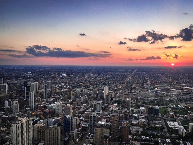
If you live in or are visiting Atlanta, you’ve probably heard it called a “city in the hills” or noticed that some neighborhoods feel higher and breezier than others. That’s because Atlanta sits at a moderate elevation compared to many other major U.S. cities.
Here’s a clear, local-focused breakdown of Atlanta’s altitude and what it means for everyday life.
In simple terms:
Atlanta is not at extreme high altitude like Denver, but it’s also not close to sea level like many coastal cities. It sits on the Piedmont Plateau, a rolling upland region between the Appalachian Mountains and the Coastal Plain.
Atlanta isn’t perfectly flat, so elevation changes as you move around the city.
Here are approximate elevations for some well-known Atlanta spots:
| Location / Landmark | Approx. Elevation (Feet Above Sea Level) | Notes |
|---|---|---|
| Downtown Atlanta (Five Points area) | ~950–1,000 ft | Central business district, near MARTA Five Points |
| Midtown (around Piedmont Park) | ~950–1,050 ft | Slightly higher, gently rolling terrain |
| Buckhead (Lenox / Phipps area) | ~1,000–1,050 ft | One of the higher-intensity commercial areas |
| Hartsfield–Jackson Atlanta Intl. Airport | ~1,020 ft | South of downtown, on relatively flat terrain |
| West Midtown / Georgia Tech area | ~950–1,000 ft | Mild slopes and rises around campus |
| East Atlanta / Kirkwood / Edgewood | ~900–1,000 ft | Gradual ups and downs, typical intown hills |
| Highest residential hilltops in city | Up to ~1,100 ft | Local high spots in north and west Atlanta |
| Lower spots along creeks/streams | ~700–800 ft | Areas close to Peachtree Creek, South River, etc. |
These numbers are approximate, but they give a good sense of how Atlanta’s altitude varies as you drive, bike, or walk across the city.
If you’re coming from out of town, it can help to compare:
Atlanta (~1,000 ft) vs. a coastal city (0–100 ft)
Atlanta is noticeably higher than sea level, but not so high that most people feel major physical differences.
Atlanta (~1,000 ft) vs. Denver (~5,000+ ft)
Atlanta’s elevation is far lower than “mile-high” altitudes. It doesn’t bring the same level of thin air or strong altitude effects associated with mountain cities.
In everyday terms, Atlanta’s altitude is moderate—high enough to be well above sea level, but not high enough to be considered high-altitude terrain.
For most people, Atlanta’s elevation is not something you need to manage closely, but it does show up in a few practical ways.
Atlanta’s altitude contributes to:
You may notice:
Atlanta is known for its rolling hills. Because of the city’s elevation changes:
If you’re planning outdoor activities:
Local builders and planners account for Atlanta’s elevation in:
This matters if you:
If you want a precise elevation for your home, business, or favorite park, there are a few simple options:
Most major mapping services allow you to:
These tools are useful for:
For more detailed information, including slope and nearby water features:
You can contact local government offices to ask about topographic or flood-related maps for a specific Atlanta address.
By common standards, high altitude usually starts around 5,000 feet above sea level or higher. Atlanta’s average of about 1,000 feet:
If you are especially sensitive to even small changes in elevation or have specific health concerns, it’s generally best to speak with a healthcare professional for guidance tailored to your situation.
Many visitors first encounter Atlanta at its major airport:
Because the airport sits on a relatively flat, elevated area:
Here’s a quick recap for residents, visitors, and anyone curious about how high Atlanta sits:
Understanding Atlanta’s elevation helps explain its hilly streets, scenic views, and weather patterns, and gives some helpful context whether you’re choosing a neighborhood, planning outdoor activities, or just satisfying your curiosity about how high the city really is.